Back in May of 2016, a severe rain event dumped up to 14 inches of rain in a few hours in an area of East Texas. In one of the watersheds affected by this rainfall lie a ±112 acre recreational lake, formed by an earthen dam built on a creek in the late 1950s. The lake’s spillway and emergency overflow system were soon overwhelmed by the tremendous amount of rainfall and runoff, and the dam was overtopped by the water.
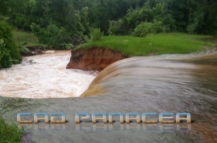
It only took a couple of hours after the dam was overtopped and the earthen dam itself failed, sending an estimated 400,000,000 gallons of water downstream.
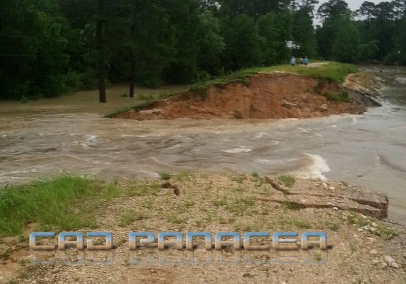
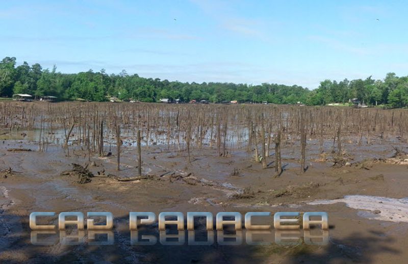
For the residents along this lake, the sights of that day were amazing. They saw the lake at its highest level ever and then returned to the original creek and its tributaries, all in the same afternoon. As you might imagine, property values of the homes on the lake were instantly slashed. The property owners soon united and voted to form a taxing entity that would generate the funds needed to restore the lake to its previous state.
As mentioned, the original dam was a simple earthen berm design, while the original spillway was a vertical shaft, which allowed water to enter from the surface of the lake, routed under the dam downstream back into the original creek. The emergency overflow was a pair of small culverts on one end of the dam. The combination of these two were not enough to stop the lake from flooding that day.
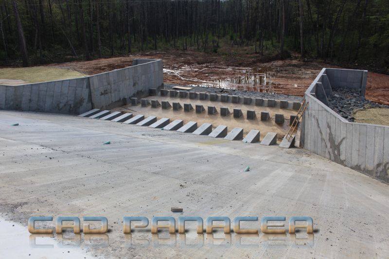
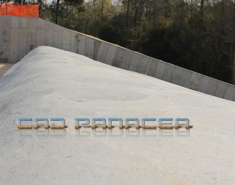
As of March of 2019, contractors are almost finished with the new spillway and repairs to the dam. The majority of the dam will retain its original design but the new spillway design should eliminate the chance of a similar incident in the future. You can see below that in the area of the breach now stands the new concrete spillway structure.

The new spillway is an Ogee design, with a width of 125 feet.
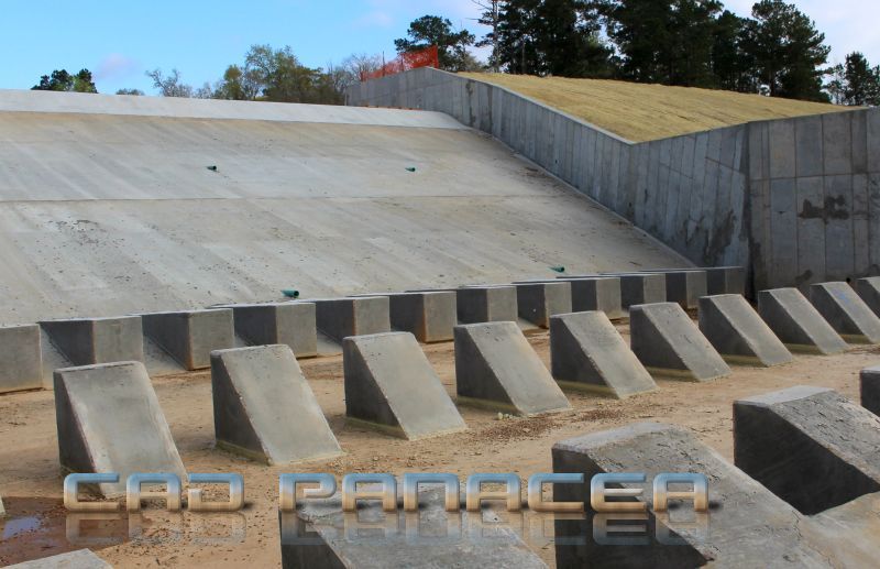
During construction, creek flow was maintained by building a temporary coffer dam and routing the flow through temporary culverts around the remaining portion of the existing dam. The property owners are anxiously awaiting the removal of these temporary measures, which will allow the lake to begin to refill.