• » BricsCAD V25
  • » AutoCAD/Civil 3D version numbers
  • » Civil 3D Solution Tips
  • » Civil 3D phantom parcels
  • » SHX vs TTF fonts in CAD
  • » The end of another era at Autodesk
  • Home
  • Links
  • C3D/ACAD Bug List
  • Autodesk Documentation
  • About
  • Authors
  • Tech
  • News
  • Reference
  • Events

Tag Archive: GPS

> GPS

Inserting GPS images into your CAD drawing

Author: rkmcswain August 23, 2018

GeoLocationPlus in BricsCAD

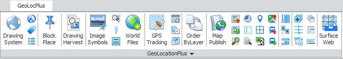
GeoLocationPlus from DotSoft is a low cost add-on that adds GeoLocation functionality to BricsCAD Pro (Windows version), AutoCAD 2014 and earlier, as well as IntelliCAD, and ZWCad. For AutoCAD 2015 and later, GeoLocationPlus expands the functionality of the Geolocation tools…
Read more

Tweet

Tech

Add-on, AutoCAD, BricsCAD, Camera, Dotsoft, Geolocation, GPS, Images, IntelliCAD, ZWCAD

Tags

AUGI AutoCAD AutoCAD 2008 AutoCAD 2010 AutoCAD 2015 AutoCAD 2017 AutoCAD LT Autodesk Autodesk University Autolisp BIM Block BricsCAD Bricsys Bugs CAD CAD Management Civil 3D Civil 3D 2017 Conference design DWG Explode Fields Font Free Layers Linetype Lynn Allen Midwest University Mtext Network license New PDF Perpetual license Plot Revit Service Pack Shape File Startup System Variable Tips & Tricks updates What's New Xref

Recent Comments

  • rkmcswain on SHX vs TTF fonts in CAD
  • rkmcswain on SHX vs TTF fonts in CAD
  • Brian Strandberg on SHX vs TTF fonts in CAD
  • Simon Weel on SHX vs TTF fonts in CAD
  • Brian Strandberg on Autodesk expands previous version rights to five versions back.
  • Kevin on Autodesk Documentation

Meta

  • Log in
  • Entries feed
  • Comments feed
  • WordPress.org
All original content copyright © 2005-2019 R.K. McSwain & CAD Panacea | All Rights Reserved